
| Version 88 (modified by , 14 years ago) ( diff ) |
|---|
Introduction
OSSIM is a high performance software system for remote sensing, image processing, geographical information systems and photogrammetry. It is an open source software project and has been under active development since 1996. The lead developers for the project have years of experience in commercial and government remote sensing systems and applications. OSSIM is widely deployed in a number of private, federal and civilian agencies. The name OSSIM is a contrived acronym (Open Source Software Image Map) that is pronounced "awesome" – the acronym was established by our first government customer.
OSSIM Apps
- Command Line Applications - ossim-info, ossim-orthoigen, ossim-dem, ...
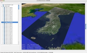
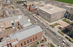
- Desktop Applications - OssimPlanet, ImageLinker, IView, ...
- Web Applications - OMAR
- Downloads - Ready to use binaries (executables)
- User Documentation
- Supported Formats
Bug Tracking
- Getting a login
- Submit a new Ticket
- Open Bugs
- Open Enhancement Requests
- View All Open Tickets
- RROC-IOC Tickets
- OMAR 1.8.4 Release
- OMAR 1.8.6 Release
- OMAR 1.8.8 Release
Technical Support
- OSSIM Mailing List
- IRC Chat
- Channel #ossimplanet
Developer Resources
- Downloading the Source Code
- Build Instructions
- Developer Tips
- Source Code Documentation
- ossim 2.0 wish list
- OSSIM Build Instructions V 1.4
- OSSIMVERSIONHistory
- OSSIM Image Model design
- Governance and Community Participation
- News and Status Reports
Related Links
Note:
See TracWiki
for help on using the wiki.
