Opened 13 years ago
Closed 13 years ago
#3508 closed bug (fixed)
Custom projection issues
| Reported by: | dr | Owned by: | nobody |
|---|---|---|---|
| Priority: | major: does not work as expected | Milestone: | Version 1.7.0 |
| Component: | Projection Support | Version: | Trunk |
| Keywords: | Cc: | dr, gislab, alexbruy | |
| Must Fix for Release: | Yes | Platform: | Windows |
| Platform Version: | Awaiting user input: | no |
Description
Create custom projection:
+proj=aea +lat_1=52 +lat_2=64 +lat_0=0 +lon_0=105 +x_0=18500000 +y_0=0 +ellps=WGS84 +units=m +no_defs
Open vector layer (in attachment). Enable on the fly CRS transformation and set created custom projection.
Issues:
- Zoom to layer extent does not work and layer is invisible;
- Open attribute table, select any row and press "Zoom map to selected rows" button. Layer becomes visible, but if change zoom level with mouse wheel - any features or layer at all disappears from map canvas.
Attachments (3)
Change History (7)
by , 13 years ago
comment:1 by , 13 years ago
by , 13 years ago
| Attachment: | aea_proj_in_grass64.png added |
|---|
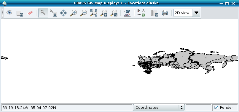
Map shown in GRASS 6.4 from -180° to +180°
by , 13 years ago
| Attachment: | aea_proj_in_grass64_shifted.png added |
|---|
Map shown in GRASS 6.4 from -50° to+50°
comment:2 by , 13 years ago
Note:
See TracTickets
for help on using tickets.
related to #2426