Opened 13 years ago
Last modified 13 years ago
#3253 new enhancement
Enhancement: option to "trim other layers to match"
| Reported by: | Alister | Owned by: | nobody |
|---|---|---|---|
| Priority: | minor: annoyance | Milestone: | Version 2.0.0 |
| Component: | Symbology | Version: | |
| Keywords: | Cc: | ||
| Must Fix for Release: | No | Platform: | All |
| Platform Version: | Awaiting user input: | no |
Description
Task: It would be useful to be able to use a polygon to temporarily mask other layers. e.g. if you have a layer of boundaries for catchments (or provinces or something), to only display content within one particular catchment.
Current way of achieving the task: I think the most flexible way to achieve this at the moment is:
- create a set of new mask layers, by subtracting each catchment from a polygon bigger than the area of interest.
- put these layers above everything else.
- only turn on the mask layer which corresponds to the area of interest.
This method is fine for the work I do myself, because I work with only a small number of areas. But it would not be practical with a large number.
Proposed new feature I think the best way to do it would be to add an option "trim other layers to extent" (there is probably a better way of wording this - some people might think "extent" implies a rectangular area or something). This would allow the user to mask all map content outside a polygon layer or whatever subset of the layer is defined (by the query builder). A logical place for the option would be on the "general" tab in the "layer properties" dialogue, as this is where the layer subset is shown.
N.B. sorry if I haven't picked the appropriate Component; I'm not sure which it should be.
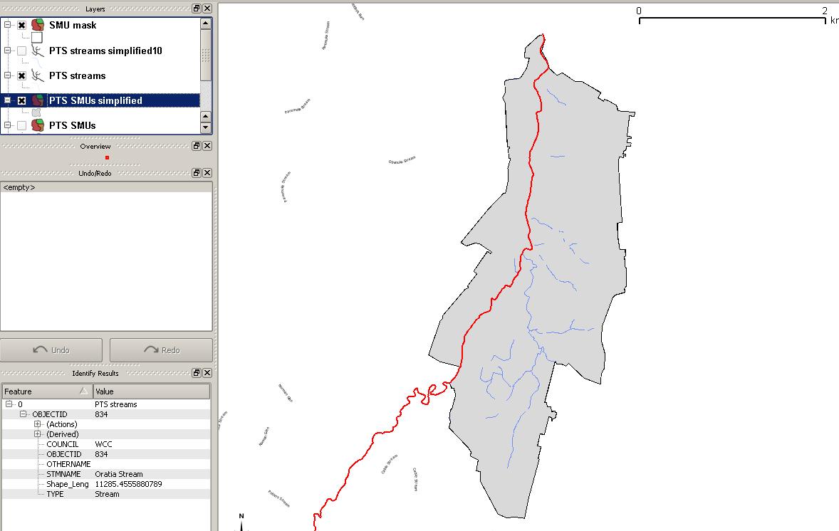
But this obviously doesn't work if you have labelled layers - labels are shown above all layers, so you can still see the labels for hidden features. In this case I think the only solution is to create a set of layers cropped to each region, which would be very impractical if you had a lot of regions.
Also, when a feature is selected the hidden parts of it can still be seen (I guess this is desirable - at least when editing the feature). See the screenshot.