| Version 5 (modified by , 7 years ago) ( diff ) |
|---|
Final Report: Implement Geospatial Data Viewer in pgAdmin4 for PostGIG 
- Title: Implement Geospatial Data Viewer in pgAdmin4 for PostGIS
- Organization: OSGeo
- Mentors: Victoria Rautenbach and Frikan Erwee
- Student: Xuri Gong, Peking University
- GSoC Proposal: Proposal for GSoC 2018.pdf
- Code Patch: pgadmin-hackers mailing list
Status Before GSoC 
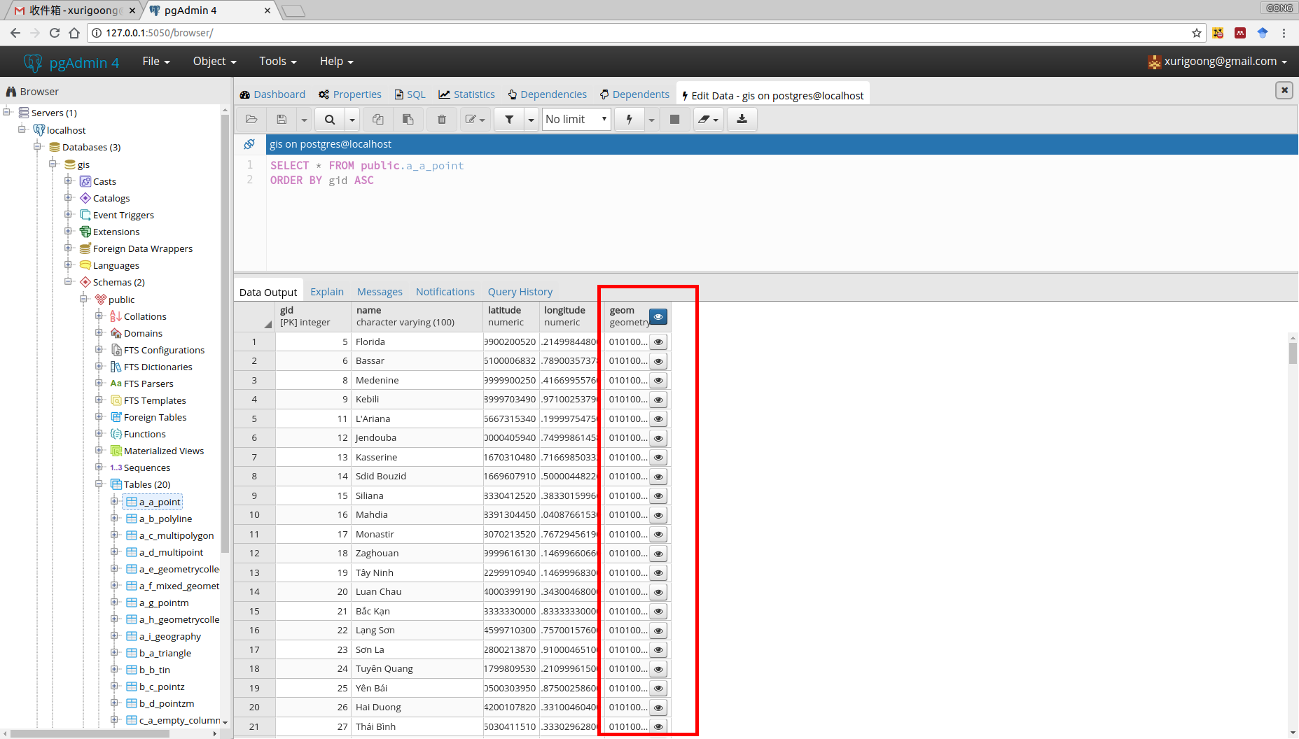
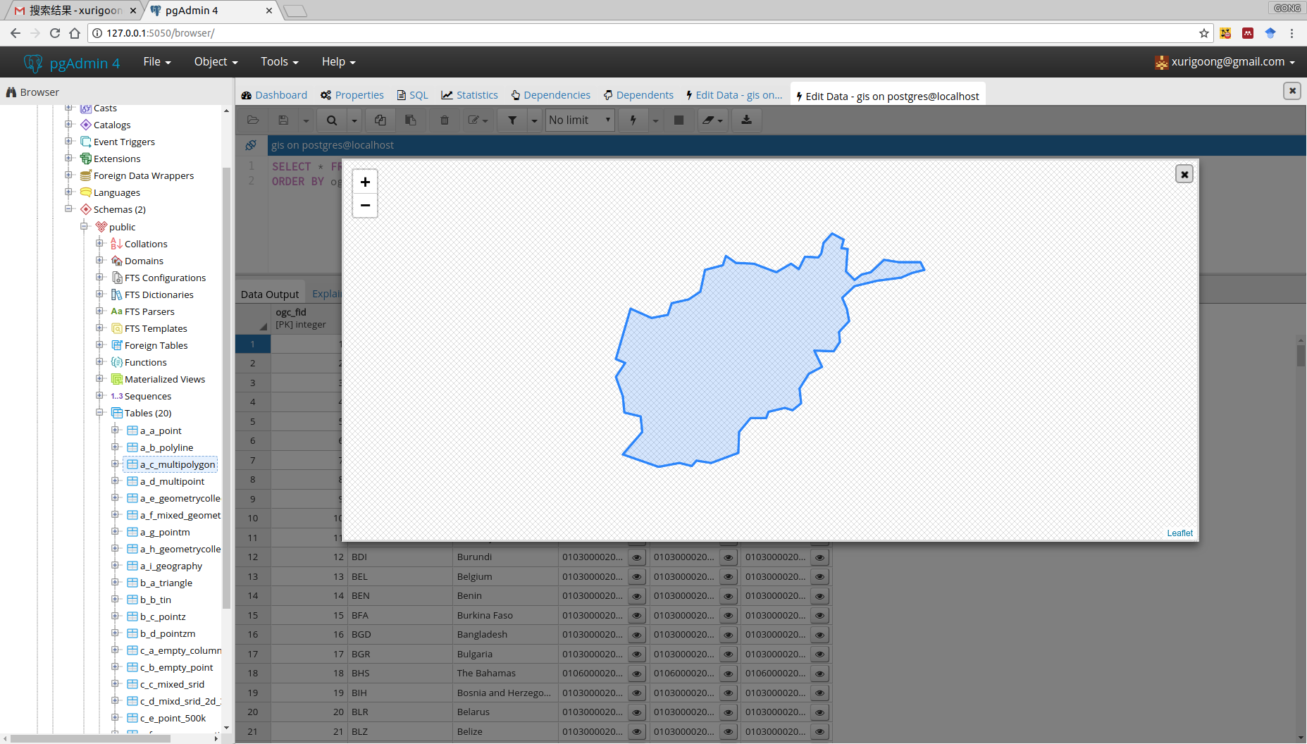
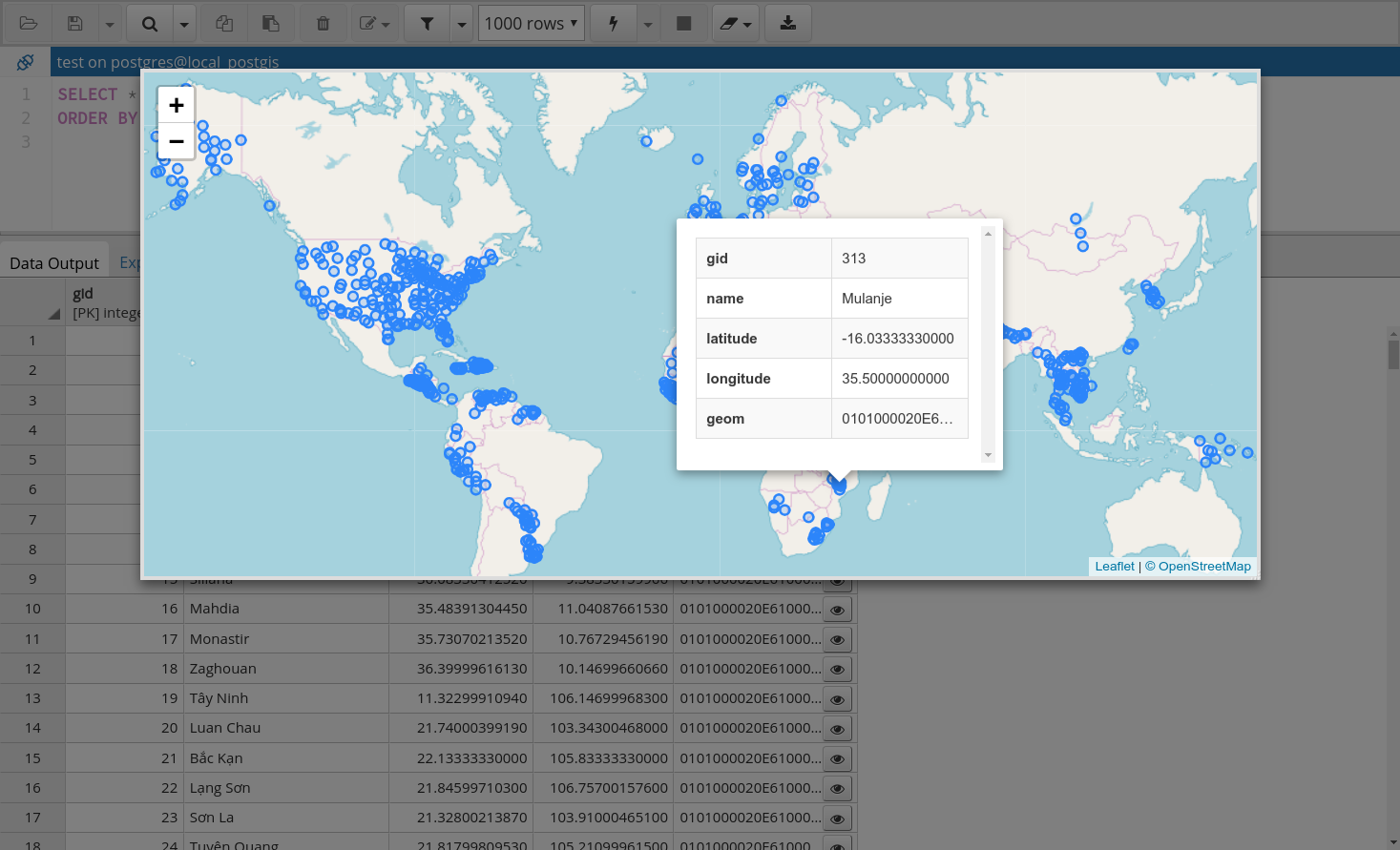
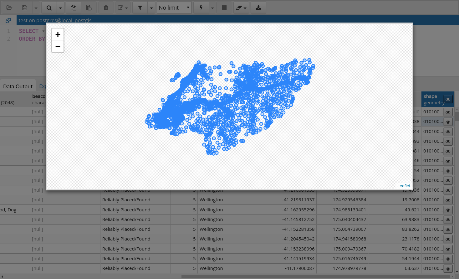
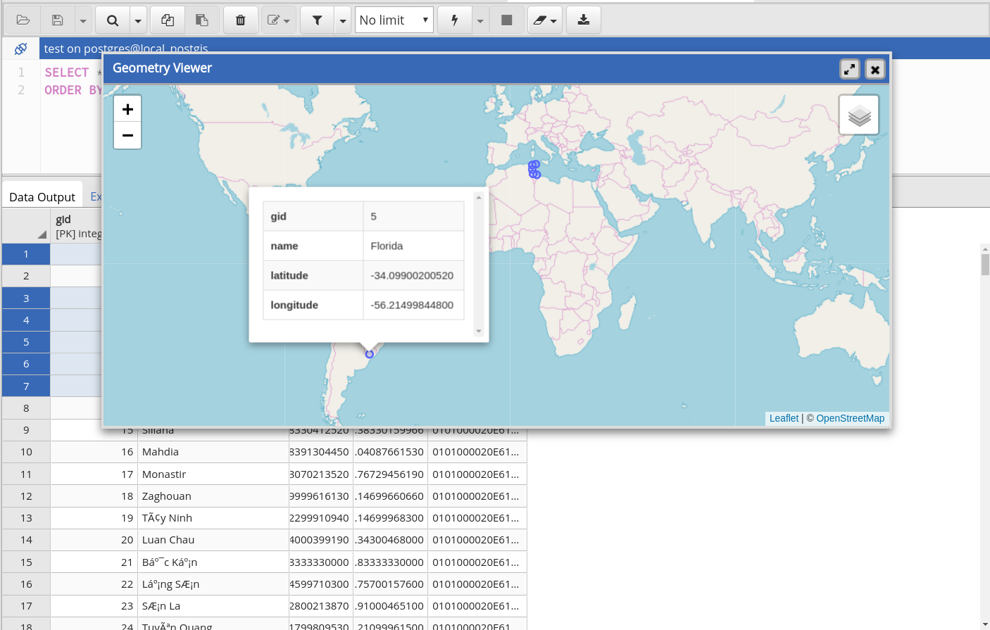
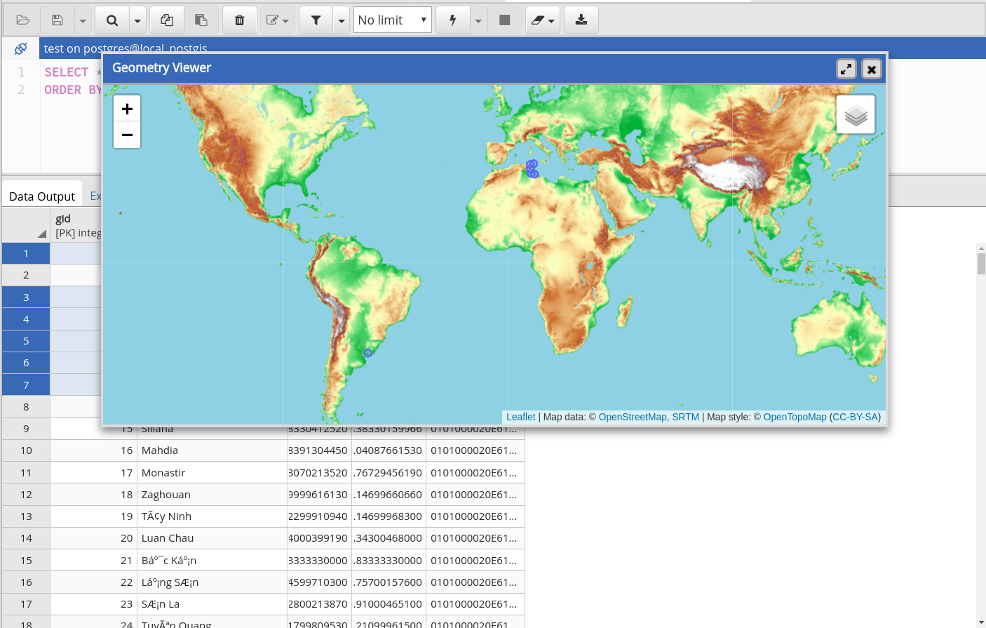
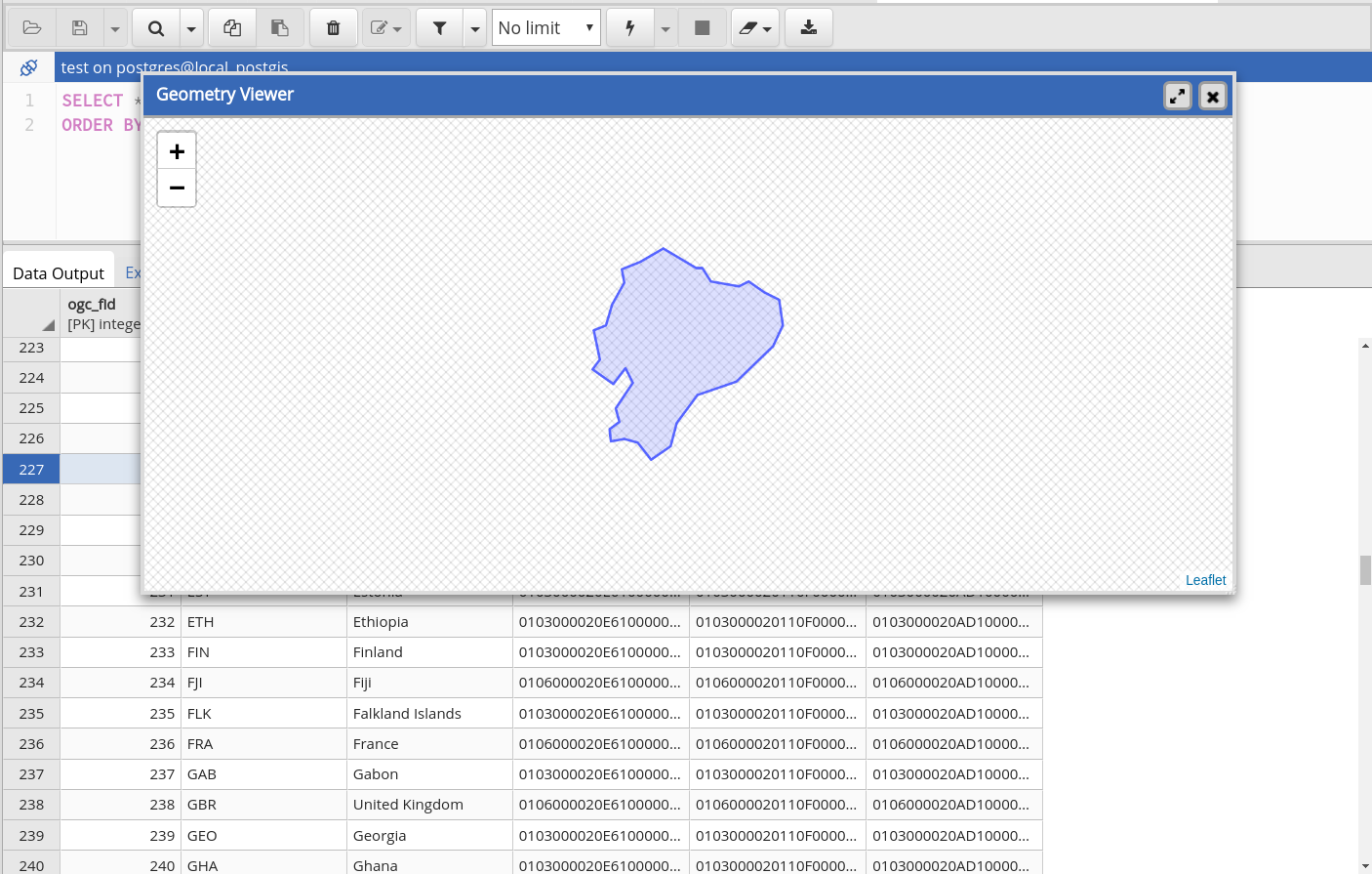
pgAdmin is the GUI management tool for PostgreSQL. The latest version pgAdmin4 is web-based and written in Python and jQuery with Bootstrap, using the Flask framework. But currently there is no geospatial data viewer in pgAdmin4-3.1, and external applications, such as QGIS are required if we want to browser the data in a map. It’s not convenient for users to view geometries directly in pgAdmin4 “Data Output” table panel.
My Proposal And Work. 
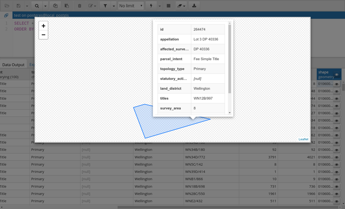
I propose to implement a geospatial data viewer in pgAdmin4 that will allow users to view the tables in a spatial database and the results of queries executed. With the viewer I intend to develop, users can directly view geospatial data on a map within the pgAdmin4 GUI.
Attachments (13)
- screenshot_1.png (254.1 KB ) - added by 7 years ago.
- screenshot_2.png (227.6 KB ) - added by 7 years ago.
- screenshot_3.png (463.5 KB ) - added by 7 years ago.
- screen_1.png (154.9 KB ) - added by 7 years ago.
- screen_2.png (170.0 KB ) - added by 7 years ago.
- screen_3.png (280.0 KB ) - added by 7 years ago.
- screen_4.png (261.9 KB ) - added by 7 years ago.
- geometry_viewer.patch (114.9 KB ) - added by 7 years ago.
- Selection_013.png (134.5 KB ) - added by 7 years ago.
- Selection_014.png (221.1 KB ) - added by 7 years ago.
- Selection_015.png (439.0 KB ) - added by 7 years ago.
- Selection_016.png (116.8 KB ) - added by 7 years ago.
- Peek 2018-08-16 00-13.gif (2.8 MB ) - added by 7 years ago.
Note:
See TracWiki
for help on using the wiki.