| Version 15 (modified by , 7 years ago) ( diff ) |
|---|
Implement Geospatial Data Viewer in pgAdmin4 for PostGIS 
- Title: Implement Geospatial Data Viewer in pgAdmin4 for PostGIS
- Organization: OSGeo
- Mentors: Victoria Rautenbach and Frikan Erwee
- Student: Xuri Gong, Peking University
- GSoC Proposal: Proposal for GSoC 2018.pdf
- Repository: https://github.com/Gooong/pgadmin4
Abstract 
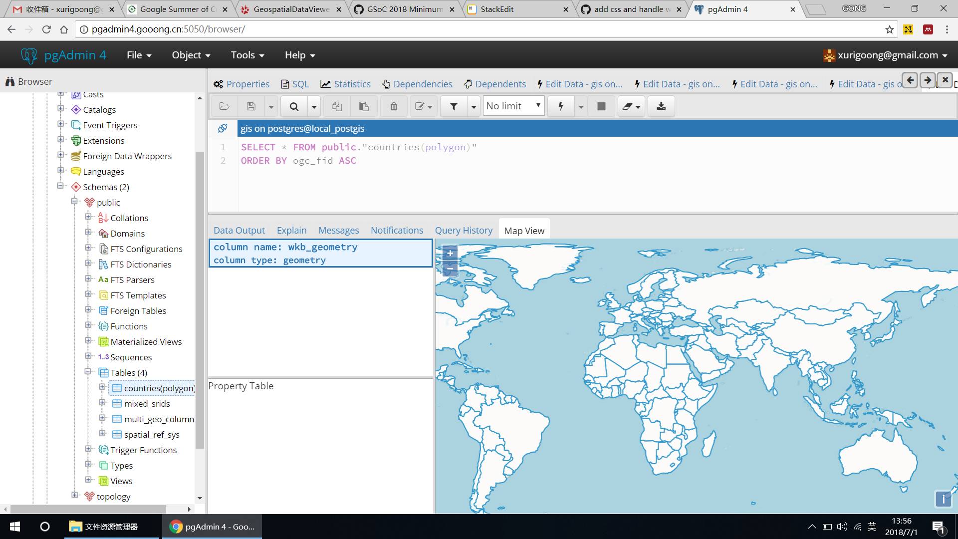
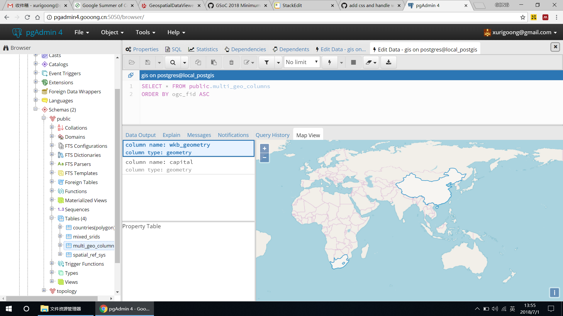
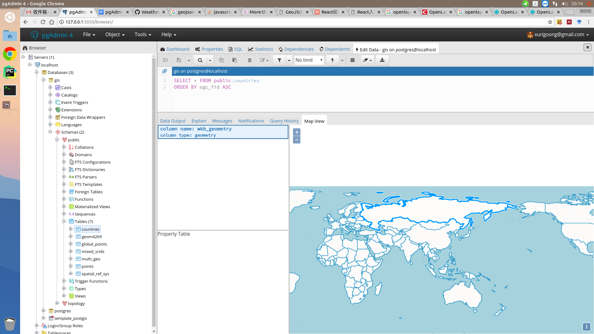
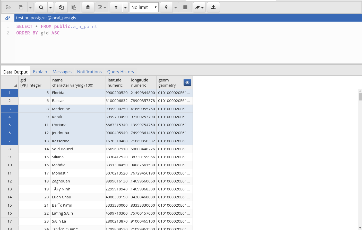
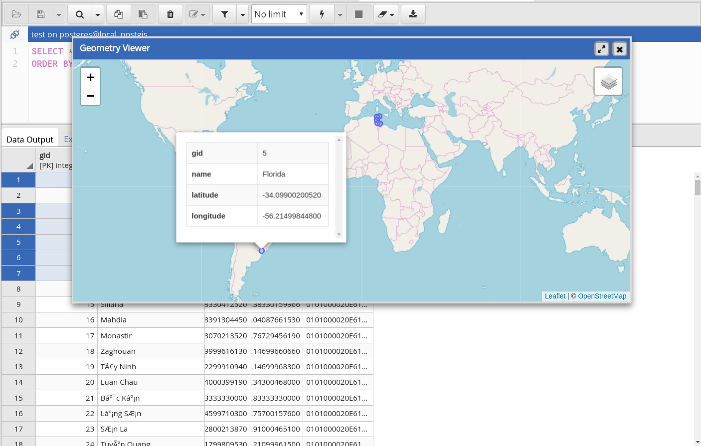
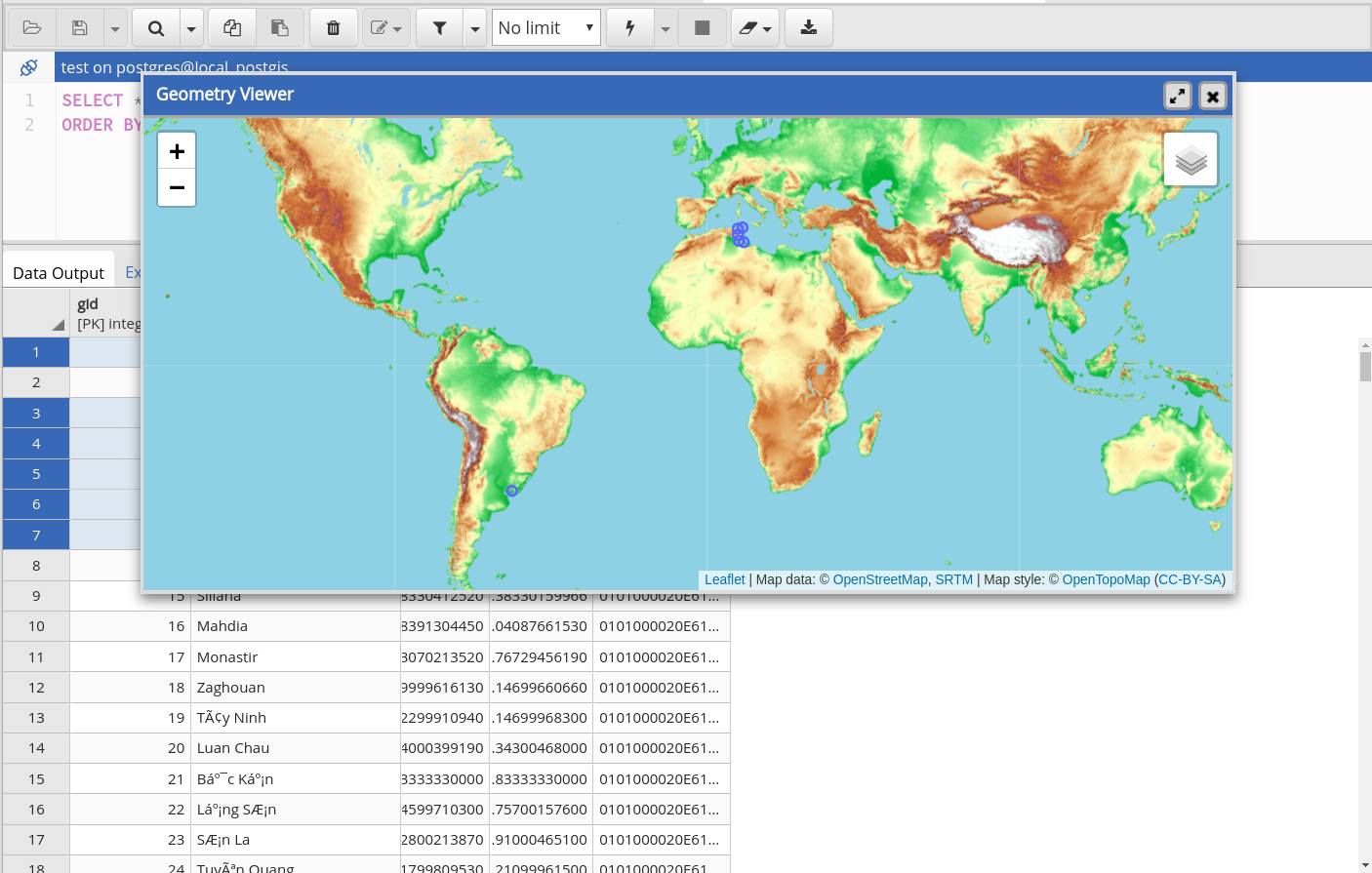
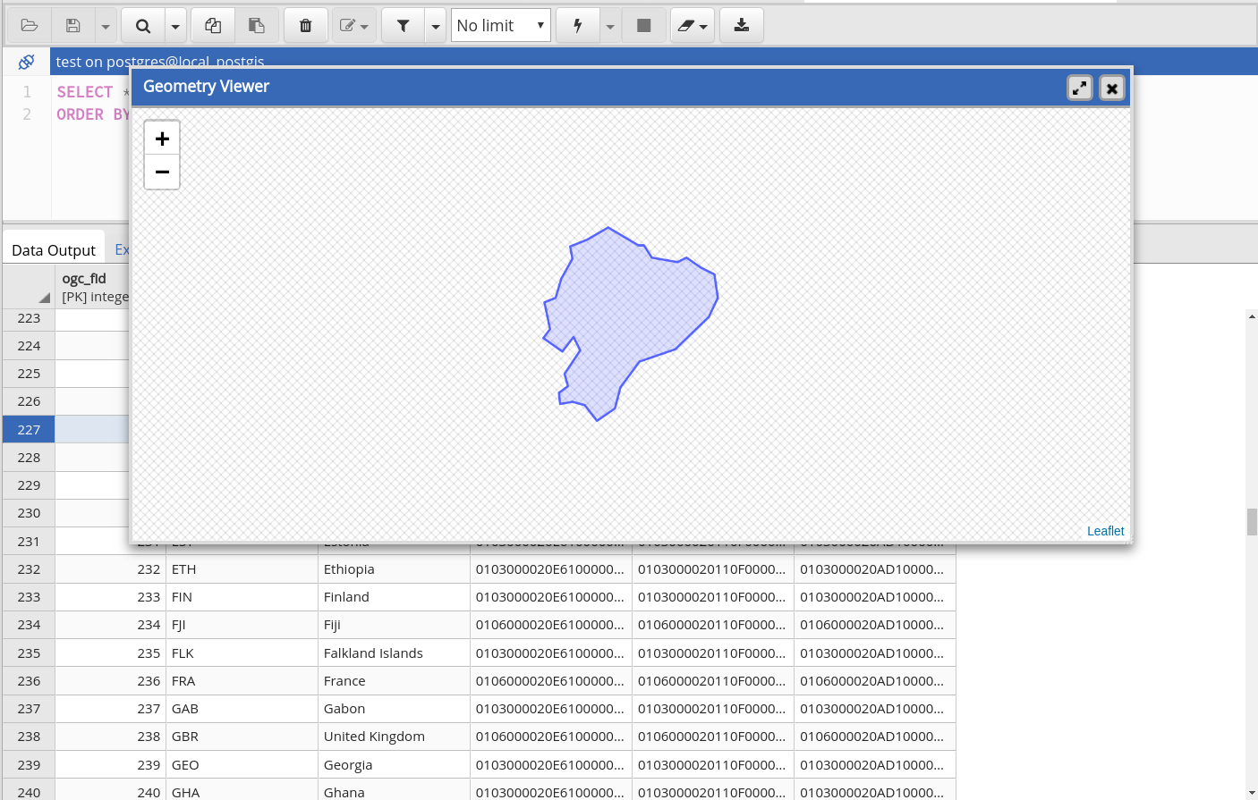
pgAdmin is the GUI management tool for PostgreSQL. The latest version pgAdmin4 is web-based and written in Python and jQuery with Bootstrap, using the Flask framework. But currently there is no geospatial data viewer in pgAdmin4, and external applications, such as QGIS are required if we want to browser the data in a map. It’s not convenient for users to view geometries directly in pgAdmin4 “Data Output” table panel.
I propose to implement a geospatial data viewer in pgAdmin4 that will allow users to view the tables in a spatial database and the results of queries executed. With the viewer I intend to develop, users can directly view geospatial data on a map within the pgAdmin4 GUI.
Weekly Reports: 
Community Bonding Period (April 24 - May 14) 
DOING:
FINISHED:
- Set up dev environment and my wiki page for TODO list and weekly report.
- Introduce myself and this project in pgAdmin4, PostGIS and SoC mailing list.
- Discuss with mentors about the implementation plan. Here is the draft of my technical notes: GSoC Technical notes
- Remain constant touch with my mentors using Google Hangouts. Set up user requirements and discuss the design details with mentors. Settle the final design according to user requirements and feasibility. Here is the design document: pgAdmin4 Geo Viewer Design Document
- Get deeper into pgAdmin4 source code and learn more about require.js lib.
Attachments (10)
-
Proposal for GSoC 2018.pdf
(635.3 KB
) - added by 7 years ago.
GSoC Proposal
- geoviewer screenshot 1.png (470.0 KB ) - added by 7 years ago.
- geoviewer screenshot 2.png (429.0 KB ) - added by 7 years ago.
-
Screenshot from 2018-07-08 20-14-24.png
(378.0 KB
) - added by 7 years ago.
screenshot 3
- geometry_visualiser_screenshot1.png (239.9 KB ) - added by 7 years ago.
- geometry_visualiser_screenshot2.png (506.0 KB ) - added by 7 years ago.
- Selection_013.png (134.5 KB ) - added by 7 years ago.
- Selection_014.png (221.1 KB ) - added by 7 years ago.
- Selection_015.png (439.0 KB ) - added by 7 years ago.
- Selection_016.png (116.8 KB ) - added by 7 years ago.
Note:
See TracWiki
for help on using the wiki.