
Opened 2 years ago
Closed 2 years ago
#2863 closed defect (fixed)
White or colored tiles at z=0 when using Default-TileSetDefinition
| Reported by: | gBecker | Owned by: | jng |
|---|---|---|---|
| Priority: | high | Milestone: | 4.0 |
| Component: | Rendering Service | Version: | |
| Severity: | major | Keywords: | Version 4 Preview 4 |
| Cc: | gBecker | External ID: |
Description 
In our application I use a MapDefinition with an external TileSetDefinition of the type "Default Tile Provider". We access this MapDefinition in our OpenLayers frontend from a map that is set to a local coordinate system (EPSG:25832). In the TileSetDefinition I have defined this CoordinateSystem and the scales in which I want the tiles to be created:
500000,250000,100000,50000,25000,10000,5000,2500,1000,500,250,100
With MapGuide version 3.1.2 everything works as expected. However, it turned out that in the latest beta version of MapGuide 4 at a scale of 1:100 (TileCoordinate z = 0) only white or colored tiles are created, depending on what LayerDefinition type you are using (raster/vector). All the other Scales are correct.
I tested this by using the MapGuide package that I created under 3.1.2 and then loading it into MapGuide 4 Preview 4. So, it is exactly the same configuration.
Change History (11)
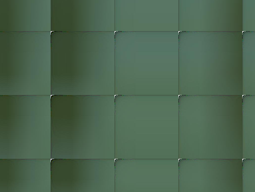
by , 2 years ago
| Attachment: | ColoredTiles.png added |
|---|
comment:1 by , 2 years ago
Just to make this 100% reproducible, do you have an example stateless GETTILE URL that produces the colored tiles in 4.0, but works in 3.1.2?
Just a heads up: Knowledge of the Rendering/Stylization of raster layers is not my strong suit. I may not have the means to fully solve the issue. But having the issue 100% reproducible at least is a good starting point.
by , 2 years ago
| Attachment: | 20230330_FailedTiles_With_Vector.mgp added |
|---|
Includes transparent tiles from vector at z=0
comment:2 by , 2 years ago
I have to correct myself. The tiles aren’t white but transparent. Here is an example of a request at z=0:
and a request with z=1:
Or you can see it here in our OpenLayers-Viewer:
https://stadtplan.badoeynhausen.de/Viewer?Map=90ebac7f-bbd0-4e6b-98d8-2e5985d0bfd1
Just zoom in to 1:100 (z=0).
I have filed an additional MapGuide Package to the ticket that includes vector data (SDF) and MapDefinitions with inline tiles. All MapDefinitions produce incorrect tiles at z=0. I double checked this on MapGuide Server 3.1.2.
Thanks, Gunter
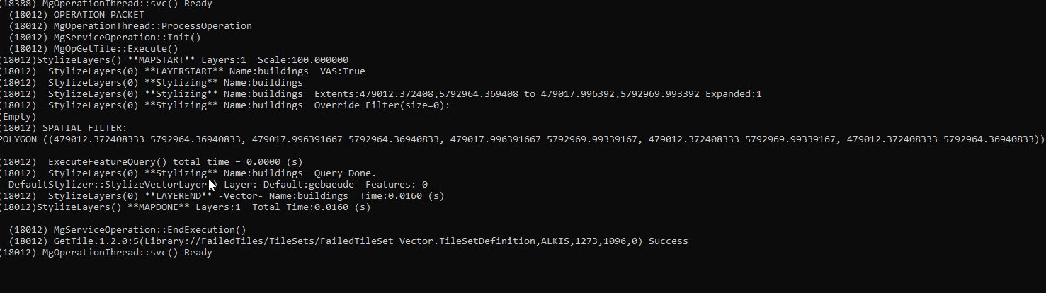
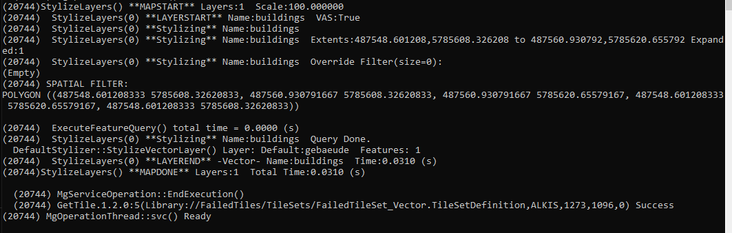
comment:3 by , 2 years ago
I built both 4.0 trunk and 3.1 in debug mode and requested the following tile as a baseline comparison:
http://localhost:8018/mapguide/mapagent/mapagent.fcgi?mapdefinition=Library%3A%2F%2FFailedTiles%2FTileSets%2FFailedTileSet_Vector.TileSetDefinition&basemaplayergroupname=ALKIS&clientagent=Fusion%20Viewer&operation=GETTILEIMAGE&version=1.2.0&tilecol=1273&tilerow=1096&scaleindex=0&username=Anonymous
Thanks to the extra debug chatter when running both debug mgserver.exe processes interactively, my initial findings are that 3.1 and 4.0 are transforming the bounds for the tile coordinate (1273, 1096, 0) differently. See attached images for the extra debug chatter from both mgserver.exe processes.
I've yet to determine whether XYZ -> LL84 bounds calculation has changed or whether there is a CS-Map regression in the LL84 -> ETRS89.UTM-32N transformation.
Further debugging will find out which one it is.
comment:4 by , 2 years ago
Oops! My bad. I keep thinking this was XYZ tiles instead of default tiles (it's the 256x256 tile size that's throwing me off). Nevertheless adding extra debug chatter will reveal more information.
comment:5 by , 2 years ago
Ok, we're getting warmer. In the 4.0 code we're now going through the refactored meta-tile rendering infrastructure to render all tiles. Something must have regressed in extent calculations.
Colored tiles at z = 0 when using a raster layer in TileSetDefinition