| Version 1 (modified by , 8 years ago) ( diff ) |
|---|
This is a DRAFT page for the future release of GRASS GIS 7.4
List of new features in GRASS GIS 7.4
AT TIME: trunk
GRASS GIS 7.4 is the version of active development with a first 7.4.0 stable release in December 2017. In total, it comes with more than XXX fixes and improvements with respect to the stable releases 7.2.x. The development was officially moved to a dedicated release branch in XXX (rXXX). This page summarizes the manifold new features which have been added to GRASS 7.4.
Table of Contents
What's new in a nutshell
After almost XXX years of development the new stable major release GRASS GIS 7.4 is available. The quick brown fox jumps over the lazy dog. The quick brown fox jumps over the lazy dog. The quick brown fox jumps over the lazy dog. For details see below.
Releases
- See list here:
Release/7.4.0-News
Graphical User Interface
GRASS GIS 7.4 graphical user interface comes with a new ....
Modules (commands)
A series of new modules has been added and many improved.
Display modules
General modules
New:
- G74:...
Improved:
- G74:...
Raster modules
Improved:
- ...
Raster3D modules
New:
- ...
Vector modules
New:
- ...
Temporal GIS modules
...
Scripting
...
User Manuals - Documentation
...
GRASS 7 Library changes
...
Source Code Portability
...
GRASS GIS 7.4 Addons
More than XXX new addons are now enlarging the already impressive list of extensions available:
Attachments (12)
-
grass740_startup.png
(80.5 KB
) - added by 7 years ago.
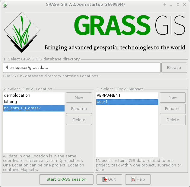
Startup of GRASS GIS 7.4.0
-
grass740_startup_sample_data_download_arrow.png
(228.0 KB
) - added by 7 years ago.
Startup of GRASS GIS 7.4.0 with sample data download
-
g.gui.image2target.png
(598.4 KB
) - added by 7 years ago.
g.gui.image2target screenshot (by Luca Delucchi)
-
mapswipe.png
(614.0 KB
) - added by 7 years ago.
Georectified aerial photo (screenshot by Luca Delucchi)
-
show_reg_map_display.png
(334.7 KB
) - added by 7 years ago.
show current computational region extent in map display
-
datacatalog-reproject.png
(227.1 KB
) - added by 7 years ago.
Copy raster and vector maps including reprojection
-
r_clump_fuzzy.png
(49.6 KB
) - added by 7 years ago.
example of fuzzy clumping
-
i.atcorr2.png
(80.6 KB
) - added by 7 years ago.
support for more satellites in i.atcorr
-
i.modis.qc.png
(57.4 KB
) - added by 7 years ago.
support for mod09 in i.modis.qc
-
v_clip2.png
(194.2 KB
) - added by 7 years ago.
v.clip example contributed by Paulo Van Breugel
-
r_regression_multi2.png
(143.1 KB
) - added by 7 years ago.
example of r.regression.multi by Paulo van Breugel
-
gsflow_CannonRiver.png
(642.5 KB
) - added by 7 years ago.
gsflow addons example contributed by Andy Wickert

