| Version 6 (modified by , 8 years ago) ( diff ) |
|---|
GRASS GIS 7.2
Table of Contents
What's new in a nutshell
After many years of development the new stable major release GRASS GIS 7.2 is available. The graphical user interface based on wxPython (introduced in GRASS GIS 6.4) has been enriched with many new features in order to make complex GIS operations available as simple as possible. The old Tcl/Tk based GUI has been dropped. The developers have added important new functionality to the core system, among that the new Python interface to the C library. This new API permits users to create new GRASS GIS-Python modules in a simple way while yet obtaining powerful and fast modules. Furthermore, the vector library was significantly improved to make it faster and more efficient, along with support of huge files. This requires an easy to manage topology format update including a new spatial index. A lot of effort has been invested to standardize parameter and flag names. Finally, there are a series of new modules to analyse raster and vector data; some of the already existing modules were improved and made faster (some even 1000 x faster). For details see below.
Release
- Release date: XX Dec 2016
- see complete list of releases here
- Release/7.2.0RC-News (RC2 released 24 Nov 2016)
- nightly snapshots
Graphical User Interface
blabla
Modules (commands)
A series of new modules have been added and many improved.
Display modules
New:
Improved:
General modules
Raster modules
Raster3D modules
Vector modules
Temporal GIS modules
Scripts
--exec flag goes here?
User Manual - Documentation
Python interface
API improvements
GRASS 7 Library changes
GRASS GIS Temporal Framework
- new Python framework to implement spatio-temporal modules (see manual)
Libccmath
- new library for numerical functions (see programmer's manual)
Libdbmi
Libgis
Libgmath
Libosgf
Libraster
Libvector
Source Code Portability
GRASS GIS 7.2 Addons
Many new addons are available:
Attachments (8)
-
grass720_startup.png
(69.7 KB
) - added by 8 years ago.
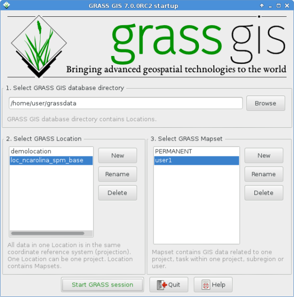
Startup screen of GRASS GIS 7.2.0
-
graphical_index.png
(462.8 KB
) - added by 8 years ago.
screenshot for the graphical index
-
g_gui_gmodeler_avg_run.png
(30.9 KB
) - added by 8 years ago.
example for g.gui.gmodeler
-
v_select_op_intersects.png
(59.6 KB
) - added by 8 years ago.
example for v.select
-
r_in_lidar_dem_mean3D.jpg
(95.9 KB
) - added by 8 years ago.
example r.in.lidar
-
r3flow_flowlines_color.png
(51.1 KB
) - added by 8 years ago.
example r3.flow
-
v_decimate_count.png
(80.0 KB
) - added by 8 years ago.
v.decimate example
-
d_legend_vect.png
(92.7 KB
) - added by 8 years ago.
d.legend.vect example
Download all attachments as: .zip

