Use Natural Earth dataset for map background 
| Date | 2011/11/20 |
| Contact(s) | François Prunayre. |
| Last edited | 2011/11/20 |
| Status | CFV |
| Assigned to release | 2.7.0 |
| Resources | Available |
| Ticket # | #230 |
Overview 
In default data provided, the country layer is pretty old and needs an update since 2.5.x series (#230). This proposal suggest to move to Natural Earth datasets (http://www.naturalearthdata.com/) for the coastline and country layers.
Proposal Type 
- Type: Background layer
- App: GeoServer data
- Module: Map Interface
Links 
- Documents:
- Email discussions:
- Other wiki discussions:
Voting History 
- Vote proposed by Francois on 2011/11/20, result +1 Jeroen, Emanuele, Patrizia, Francois
Proposal 
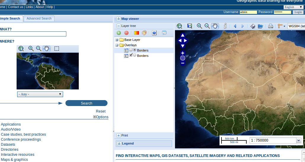
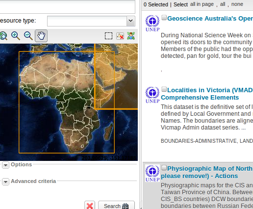
Natural Earth data are used with a less "aggressive" styling (the yellow border) with blue coastline, white borders and dashed borders in disputed areas
In classic UI 
In widgets UI 
Backwards Compatibility Issues 
New libraries added 
Natural Earth datasets (instead of not really known sources - probably FAO).
Risks 
Participants 
- François Prunayre
Last modified
13 years ago
Last modified on 12/04/11 23:43:55
Note:
See TracWiki
for help on using the wiki.


