| Version 8 (modified by , 16 years ago) ( diff ) |
|---|
Use OpenLayers for web mapping interface (replace Intermap with OL) 
| Date | 2008/06/20 |
| Contact(s) | etj, francois |
| Last edited | Timestamp |
| Status | draft |
| Assigned to release | to be determined |
| Resources | ? |
Overview 
Replace IM with a more responsive map client. In the context of a project in Switzerland, Camptocamp team is working on setting MapFish as a client for catalogue. See proposal http://trac.mapfish.org/trac/mapfish/wiki/Proposals/Catalogue

- TODO : define mockup for GeoNetwork default user interface (Jeroen & all)
Proposal Type 
- Type: GUI Change, Module Change
- App: !Intermap
- Module:
Links 
- Documents: OpenLayers, MapFish, Ext.js
- Email discussions:
- Other wiki discussions:
Voting History 
- No votation requested yet.
Motivations 
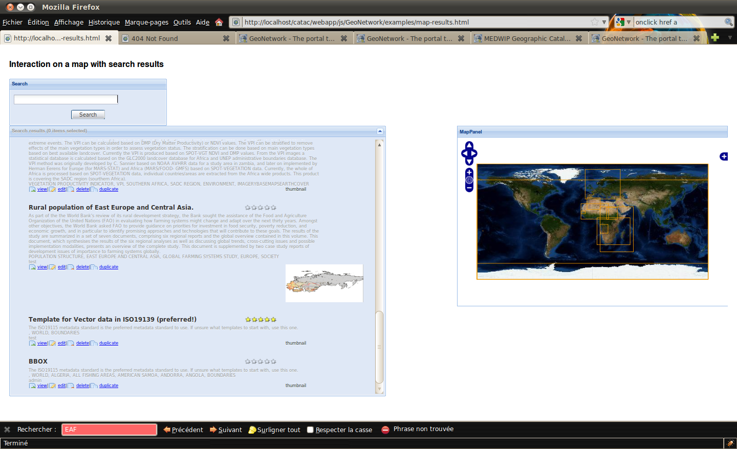
The current implementation of the map client needs an image transfer from the Intermap server every time something in the map changes.
OpenLayers has a quite different architecture, where many efforts has been spent in order to minimize heavy data transfers from map servers to the client.
Also many map operations are ready out of the box.
Removing the IM webapp in order to simplify the installation is also a nice target.
The main objectives are :
- add support for some Intermap missing functionnalities:
- allow simple vector feature support (bbox highlight, define bbox or bounding polygon in the editor)
- allow non WGS84 projection support
- improve :
- map viewing (tiling, layer tree)
- pdf printing
GUI will be mainly written using javascript. It will be easier to update the layout as it will use div and css (instead of existing deeply nested table layout). A jeeves service named "home" is using XSL to read localized string for the UI. Then all the layout will be HTML and JS.
Proposal 
| Function | Available in 2.2 | Available | Comments |
| Zoom in/out | X | X | default OL navigation or in MapFish toolbar |
| Zoom slider | X | default OL navigation | |
| Panning | X | X | default OL navigation or in MapFish toolbar |
| Zoom to full extent | X | X | double click the metadata record to go to the metadata extent |
| Layer tree | X | X | MapFish layer tree (add, remove, view, reorder, transparency) |
| Pdf printing | X | X | MapFish print module, TODO send by email |
| WMC | X | X | OL WMC support, TODO email context |
| Metadata Bbox higlighter | X |
| Function | Available | Comments |
| Markers & annotation | Not planned yet |
Backwards Compatibility Issues 
- JS file size for ext.js http://extjs.com/blog/2008/11/18/ext-cdn-custom-builds-compression-and-fast-performance/
- obfuscated JS lib for MapFish and OpenLayers : https://trac.mapfish.org/trac/mapfish/wiki/HowToBuild
Risks 
Participants 
- Francois
- Patrick
Attachments (13)
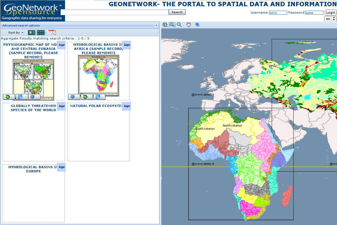
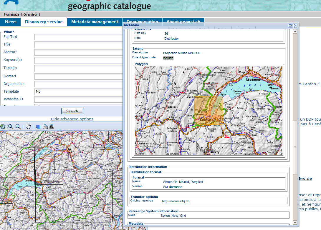
- GeoNetworkOpenLayerMapFish.png (311.9 KB ) - added by 16 years ago.
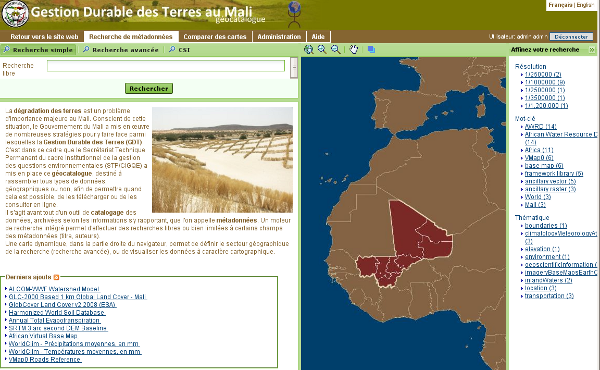
- gdtmali-home.png (181.9 KB ) - added by 16 years ago.
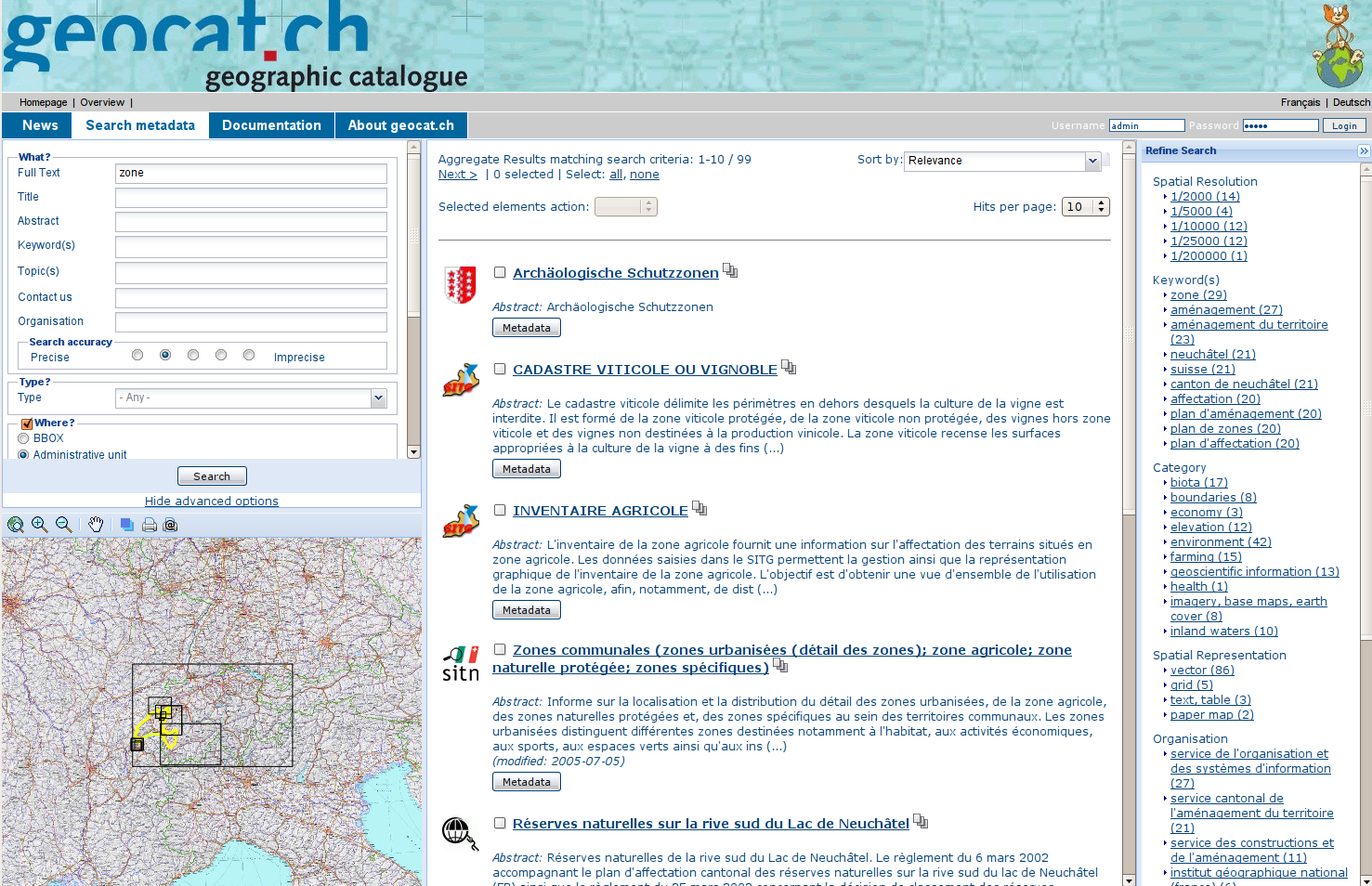
- geocat-home.png (773.2 KB ) - added by 16 years ago.
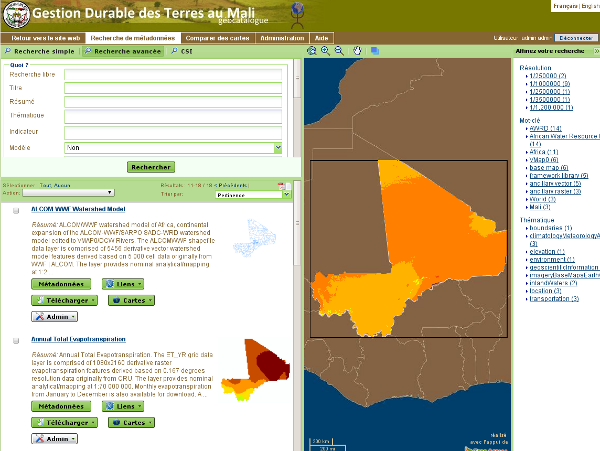
- gdtmali-search.png (140.2 KB ) - added by 16 years ago.
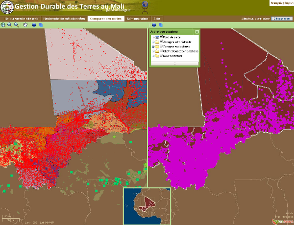
- gdtmali-compare-maps.png (246.9 KB ) - added by 16 years ago.
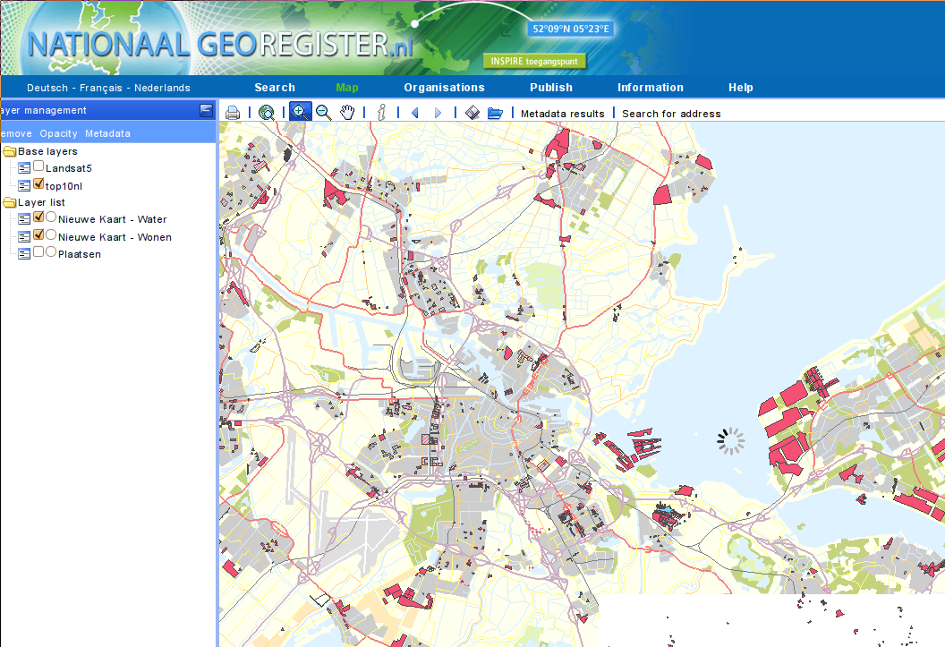
- ngr-map.png (248.8 KB ) - added by 16 years ago.
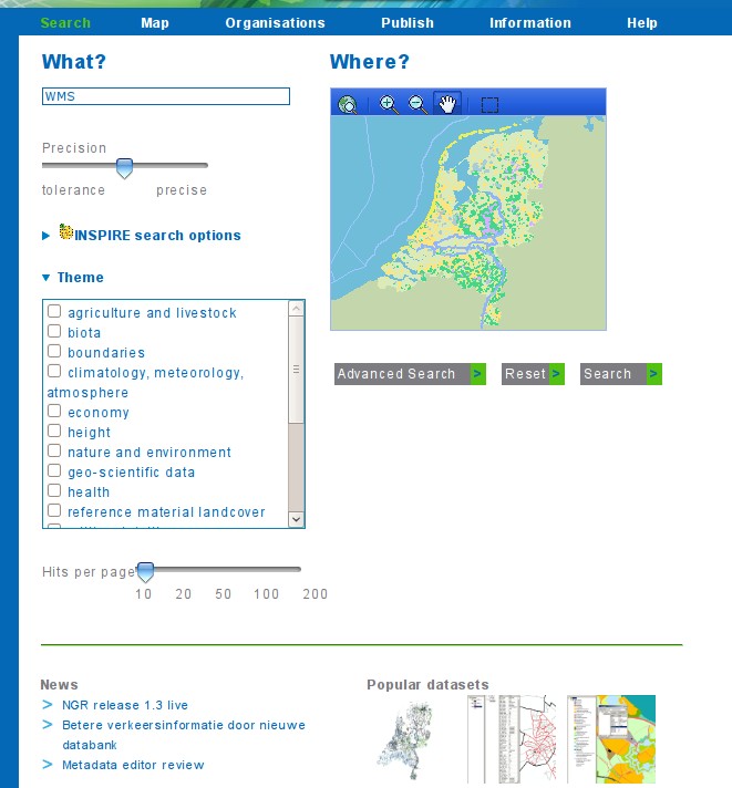
- ngr-search.png (80.8 KB ) - added by 16 years ago.
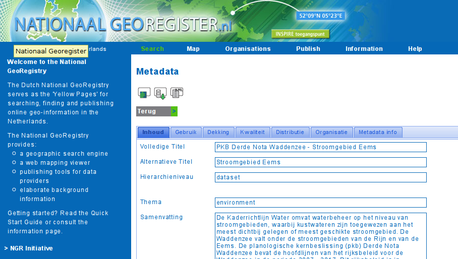
- ngr-view.png (170.4 KB ) - added by 16 years ago.
- geocat-popup.png (549.1 KB ) - added by 16 years ago.
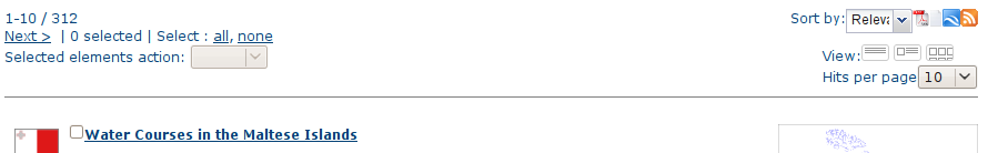
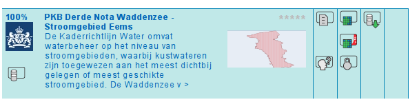
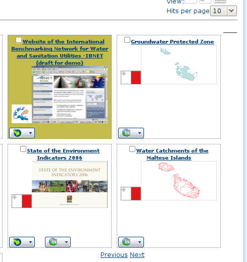
- search-results-header.png (16.3 KB ) - added by 16 years ago.
- search-results-mediumout.png (21.6 KB ) - added by 16 years ago.
- search-results-thumbnailout.png (76.0 KB ) - added by 16 years ago.
- gnclient.png (369.0 KB ) - added by 15 years ago.