
| Version 16 (modified by , 14 years ago) ( diff ) |
|---|
OssimPlanet
ossimPlanet is a 3D Geospatial viewer built on top of OpenSceneGraph, libwms and OSSIM. Inspired by BlueMarbleViewer, ossimPlanet extends geospatial viewing with access to native geospatial formats, Elevation data sets, and OGC Web Mapping Services (WMS) interfaces over the web. osgPlanet is a C++ library and includes ossimplanetviewer as a demonstration. ossimplanet_qt wraps the basic functionality inside a Trolltech qt gui application. The current version support staging of local geospatial files, remote access of OGC WMS layers, direct access to WorldWind protocol servers, and navigation to street addresses through the geocoding menu item. osgEphemeris has also been recently incorporated providing a skydome and current time/location positioning of the Sun, moon, and stars when the camera is under approximately 40,000’ .
The latest features include the addition of a WorldWind plugin to access data directly from Nasa WorldWind servers. The tesselation algorithm has been recently changed to provide better performance in polar regions.
Documentation
Movies
- 3D building models on ossimplanet
- ossimPlanet Movie
- without sound
- older ossimPlanet demo movie with shaders
- ossimPlanet synchronization example
Related Links
Attachments (2)
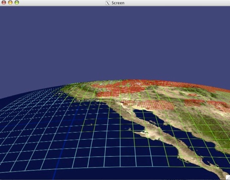
- NGOS8.jpg (52.0 KB ) - added by 14 years ago.
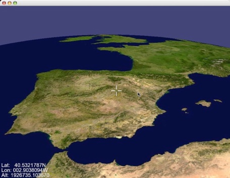
- osgPlanetSpain.jpg (51.2 KB ) - added by 14 years ago.
Download all attachments as: .zip
