
| Version 12 (modified by , 14 years ago) ( diff ) |
|---|

|
OssimPlanet
OssimPlanet is a high performance, 3D geospatial visualization tool built on top of OSSIM and OpenSceneGraph. It automatically intersects with DTED and/or SRTM elevation trees for topography and handles a wide range of commercial and government file formats natively. Additionally, remote layers can be accessed over the web through OGC WMS interfaces. Join the OSSIM mailing list for developer discussions. Packages coming soon, currently available through svn checkout under the ossimPlanet and ossimplanet_qt modules.
Related Links
Attachments (2)
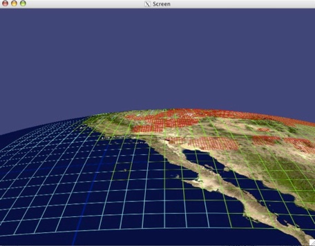
- NGOS8.jpg (52.0 KB ) - added by 14 years ago.
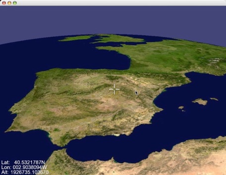
- osgPlanetSpain.jpg (51.2 KB ) - added by 14 years ago.
Download all attachments as: .zip
Note:
See TracWiki
for help on using the wiki.
