
Opened 23 years ago
Closed 21 years ago
#34 closed defect (fixed)
WMS - Wrong BoundingBox in capabilities
| Reported by: | dmorissette | Owned by: | dmorissette |
|---|---|---|---|
| Priority: | high | Milestone: | |
| Component: | WMS Server | Version: | 4.0 |
| Severity: | normal | Keywords: | |
| Cc: | jdoyon@…, pspencer@… |
Description
If a map file contains wms_srs metadata with some EPSG codes and data is in a
projection with no EPSG code equivalent then the BoundingBox is still output
using the map's default ground units but is advertized as being in the first
projection in the wms_srs metadata.

Explanation may not be clear enough... here is an example... the following
mapfile settings:

WEB
  ...
  METADATA
    "wms_title"         "GMap WMS Demo Server"
    "wms_onlineresource" "http://www2.dmsolutions.ca:8099/cgi-bin/mswms_gmap?"
    "wms_srs"   "EPSG:4269 EPSG:4326"
  END
END

PROJECTION
     "proj=lcc"
     "ellps=GRS80"
     "lat_0=49"
     "lon_0=-95"
     "lat_1=49"
     "lat_2=77"
END

Will return this... in which the BoundingBox coordinates are not in the
advertized SRS:

    <Title>GMap WMS Demo Server</Title>
    <SRS>EPSG:4269 EPSG:4326</SRS>
    <LatLonBoundingBox minx="-172.367" miny="35.6673" maxx="-11.5624"
maxy="83.8293" />
    <BoundingBox SRS="EPSG:4269"
                minx="-2.2e+06" miny="-712631" maxx="3.0728e+06" maxy="3.84e+06"
/>
Attachments (1)
Change History (7)
comment:2 by , 21 years ago
| Cc: | added |
|---|---|
| Version: | 3.5 → 4.0 |
Let's see if we can fix the invalid bbox for 4.0.

About producing one BBOX tag per advertized SRS, I don't think we should do
that, and anyway, the WMS 1.1.1 spec sect 7.1.4.5.7 says that it's optional:

  "A server which has the ability to transform data to different SRSes may
   choose not to provide an explicit BoundingBox for every possible SRS
   available for each Layer. The server should provide BoundingBox information
   for at least the native SRS of the Layer."

The above behavior is already what we do, we just need to fix the case where the
bbox coordinates aren't properly advertized if the data is not in the default
advertized SRS.
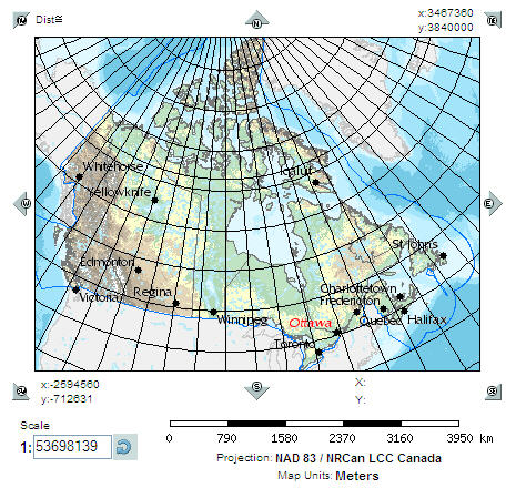
by , 21 years ago
| Attachment: | bug218.JPG added |
|---|
screengrab showing map in LCC with grid at those extents
comment:4 by , 21 years ago
| attachments.isobsolete: | 0 → 1 |
|---|
(From update of attachment 38)
OOppps... please disregard attachment above, it was added to the wrong bug
comment:5 by , 21 years ago
| Cc: | added |
|---|
comment:6 by , 21 years ago
| Resolution: | → fixed |
|---|---|
| Status: | new → closed |
Fixed in 4.0 CVS... finally!

The fix was simpler than I thought: If the MAP (or LAYER) contains a PROJECTION
block in the format "init=epsg:xxxx" then uses that to generate a <BoundingBox>
tag.  Otherwise we don't generate the <BoundingBox> tag since it's optional and
we don't have access to the original SRS and BBOX of the data in this case.

I also added a few notes in the wms-server-howto about this behavior in the
sections of the HOWTO that talk about layer and map projections.
Note:
See TracTickets
for help on using tickets.