
Opened 18 years ago
Closed 18 years ago
#1653 closed defect (wontfix)
shp2img : Graphic output corrupted with version 4.8.1 but correct with version 4.8.0-beta2
| Reported by: | Owned by: | sdlime | |
|---|---|---|---|
| Priority: | high | Milestone: | |
| Component: | MapServer CGI | Version: | 4.8 |
| Severity: | major | Keywords: | |
| Cc: |
Description
Hello
The first joined image is generated with MapServer (shp2img) 4.8.0-beta2, the
output is correct.
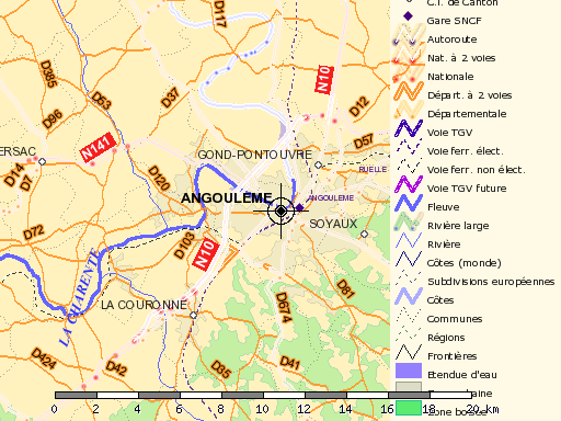
The second joined image is gerenated with MapServer (shp2impg) 4.8.1, the output
is corrupted on some lines : Strange kind of antialiasing when using an STYLE...
ANTIALIASING statement on LINE layer with a vector symbol.
Mapfile and Symbolset files are *exactly* the same for the two images. The only
change is the MapServer version.
Mapfile extracts :
OUTPUTFORMAT
NAME png
DRIVER "GD/PNG"
MIMETYPE "image/png"
IMAGEMODE RGBA
TRANSPARENT on
EXTENSION "png"
END
[.../...]
LAYER
NAME "rivieres"
DATA tr_hydro_lambert
STATUS off
TYPE LINE
CLASSITEM "LARGEUR"
LABELITEM "TOPONYME"
# PROJECTION
# "proj=latlong"
# "ellps=GRS80"
# END # end of the projection object
CLASS
NAME "Fleuve"
EXPRESSION "Plus de 50 mètres"
MAXSCALE 1000000
COLOR 100 100 255
OUTLINECOLOR -1 -1 -1
SYMBOL "rond3"
SIZE 3
LABEL
MINDISTANCE 400
POSITION auto
BUFFER 2
ANGLE auto
ANTIALIAS true
TYPE truetype
FONT times-bold-italic
SIZE 10
OFFSET 0 3
COLOR 50 50 255
END # end of label object
END # end of class object
CLASS
NAME "Rivière large"
MAXSCALE 500000
EXPRESSION "Entre 15 et 50 mètres"
STYLE # I Guess the problem is there
COLOR 100 100 255
OUTLINECOLOR -1 -1 -1
SYMBOL "rond3"
SIZE 2
ANTIALIAS true
END
LABEL
MINDISTANCE 400
POSITION auto
BUFFER 2
ANGLE auto
ANTIALIAS true
TYPE truetype
FONT times-bold-italic
SIZE 8
OFFSET 0 2
COLOR 50 50 255
END # end of label object
END # end of class object
CLASS
NAME "Rivière"
MAXSCALE 200000
EXPRESSION "De 0 à 15 mètres"
COLOR 100 100 255
OUTLINECOLOR -1 -1 -1
SYMBOL "rond3"
SIZE 1
LABEL
MINDISTANCE 400
POSITION auto
BUFFER 2
ANGLE auto
ANTIALIAS true
TYPE truetype
FONT times-italic
SIZE 7
OFFSET 0 1
COLOR 50 50 255
END # end of label object
END # end of class object
END # end of layer object
Symbolset extract :
SYMBOL
NAME "rond3"
TYPE ELLIPSE
POINTS 5 5 END
FILLED true
TRANSPARENT 1
END
Attachments (4)
Change History (11)
by , 18 years ago
| Attachment: | 4.8.0-beta2.png added |
|---|
comment:1 by , 18 years ago
Note : The two versions of MapServer are compiled in the same way, and ldd
reports  exactly the same .so files.

Configure directive used :

./configure --with-ogr \
--with-gdal \
--with-geos \
--with-proj \
--with-postgis=/usr/local/pgsql/bin/pg_config \
--with-freetype  \
--with-gd \
--without-tiff \
--with-pdf \
--with-ming \
--with-png \
--with-jpeg \
--with-zlib \
--with-php=/usr/local

ldd reports :

	linux-gate.so.1 =>  (0xffffe000)
	libgd.so.2 => /usr/local/lib/libgd.so.2 (0xb7f64000)
	libjpeg.so.62 => /usr/lib/libjpeg.so.62 (0xb7f43000)
	libfreetype.so.6 => /usr/X11R6/lib/libfreetype.so.6 (0xb7ed8000)
	libpng12.so.0 => /usr/lib/libpng12.so.0 (0xb7eaf000)
	libiconv.so.2 => /usr/local/lib/libiconv.so.2 (0xb7dd7000)
	libpdf.so.1 => /usr/local/lib/libpdf.so.1 (0xb7d43000)
	libproj.so.0 => /usr/local/lib/libproj.so.0 (0xb7d0d000)
	libgdal.so.1 => /usr/local/lib/libgdal.so.1 (0xb7958000)
	libming.so => /usr/lib/libming.so (0xb7918000)
	libpq.so.4 => /usr/local/pgsql/lib/libpq.so.4 (0xb78fd000)
	libgeos.so.2 => /usr/local/lib/libgeos.so.2 (0xb7806000)
	libm.so.6 => /lib/libm.so.6 (0xb77e3000)
	libstdc++.so.6 => /usr/lib/libstdc++.so.6 (0xb7715000)
	libgcc_s.so.1 => /usr/lib/libgcc_s.so.1 (0xb770c000)
	libc.so.6 => /lib/libc.so.6 (0xb75f2000)
	libdl.so.2 => /lib/libdl.so.2 (0xb75ee000)
	libz.so.1 => /usr/lib/libz.so.1 (0xb75df000)
	librt.so.1 => /lib/librt.so.1 (0xb75d6000)
	libssl.so.0.9.8 => /usr/lib/libssl.so.0.9.8 (0xb759b000)
	libcrypto.so.0.9.8 => /usr/lib/libcrypto.so.0.9.8 (0xb747a000)
	libcrypt.so.1 => /lib/libcrypt.so.1 (0xb744c000)
	libresolv.so.2 => /lib/libresolv.so.2 (0xb743a000)
	libnsl.so.1 => /lib/libnsl.so.1 (0xb7425000)
	/lib/ld-linux.so.2 (0xb7fc5000)
	libpthread.so.0 => /lib/libpthread.so.0 (0xb7412000)
comment:2 by , 18 years ago
| Status: | new → assigned |
|---|
Any chance you can build a test case (mapfile and shapefile) that generates the
problem? Hard to debug from just a mapfile snippet.

Steve
comment:4 by , 18 years ago
| Component: | MapScript → MapServer CGI |
|---|
Antoine: Is this still an issue with 4.8.3?

Steve
comment:5 by , 18 years ago
Steve : Yes, it is.
I still use the mapserver-4.8.0-beta2 version.

[Sorry but i lacked time to the testcase]
comment:6 by , 18 years ago
There was a bug in GD that was exposed around that time. I posted a fix to the
users list (a fix for GD). Any chance you applied that? I can dig it out if
necessary.

Steve
comment:7 by , 18 years ago
| Resolution: | → wontfix |
|---|---|
| Status: | assigned → closed |
This is a GD error, marking as WONTFIX for the moment.
Note:
See TracTickets
for help on using tickets.
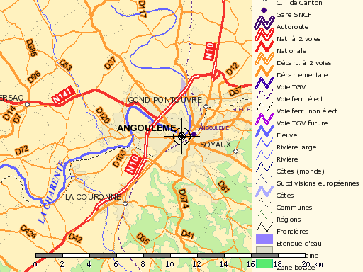
Correct output with 4.8.0-beta2