
Opened 12 years ago
#4159 new defect
Problem with [MYCOLOR] - Implementation
| Reported by: | jaykayone | Owned by: | msogcbugs |
|---|---|---|---|
| Priority: | normal | Milestone: | |
| Component: | WMS Server | Version: | 6.0 |
| Severity: | major | Keywords: | |
| Cc: |
Description
There seems to be a bug with the [MYCOLOR] implementation in 6.0.1.
What I observe is the following:
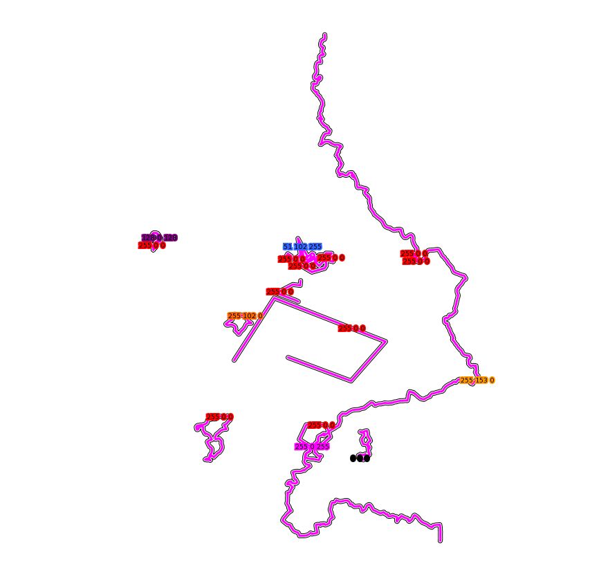
I use the Map-File in a WMS - Request. When the BBOX in the WMS - Request returns several line features having different colors, the renderer will render all the visible line features with the same color.
This is the mapfile:
LAYER
NAME category_999_line GROUP category_999 TYPE LINE CONNECTIONTYPE POSTGIS INCLUDE "connection.map" DATA "geometry FROM (SELECT * FROM v_feature LEFT JOIN map ON v_feature.map_id = map.uuid) AS foo USING UNIQUE id" FILTER "GeometryType(geometry) = 'LINESTRING' AND category_id is null AND public = 't'" LABELITEM 'rgbcolor' CLASS
STYLE COLOR 0 0 0 WIDTH 7 END STYLE COLOR 254 254 254 WIDTH 5 END STYLE COLOR [rgbcolor] WIDTH 3 END LABEL
COLOR 0 0 0 ANTIALIAS TRUE FONT vera TYPE TRUETYPE POSITION CC PARTIALS FALSE SIZE 7 BUFFER 0 FORCE FALSE OUTLINEWIDTH 3 OUTLINECOLOR [rgbcolor]
END
END PROJECTION
"init=epsg:2169"
END
END
I added the label to show the RGB - value on the map. In the screenshot every line is purple, although the labels are not all purple.
when i zoom in so that there is only one line in the extent, the color is correct.
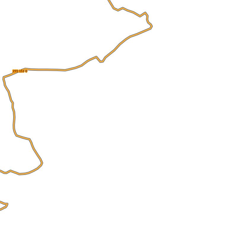
here everything is purple