| Version 2 (modified by , 16 years ago) ( diff ) |
|---|
# ??? : Replacing IM with OL
| Date | 2008/06/20 |
| Contact(s) | etj |
| Last edited | Timestamp |
| Status | draft |
| Assigned to release | to be determined |
| Resources | ? |
Overview
Replace IM with a more responsive map client.
Proposal Type
- Type: GUI Change, Module Change
- App: !Intermap
- Module:
Links
- Documents: OpenLayers, MapFish
- Email discussions:
- Other wiki discussions:
Voting History
- No votation requested yet.
Motivations
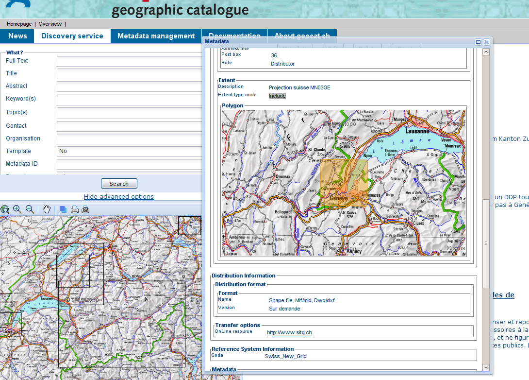
The current implementation of the map client needs an image transfer from the Intermap server every time something in the map changes.
OpenLayers has a quite different architecture, where many efforts has been spent in order to minimize heavy data transfers from map servers to the client.
Also many map operations are ready out of the box.
Removing the IM webapp in order to simplify the installation is also a nice target.
Proposal
If removing Intermap, we have to consider which features will be missing in OL, and how we can replace them. Intermap at the moment is made of different components:
- Map viewer (client)
-
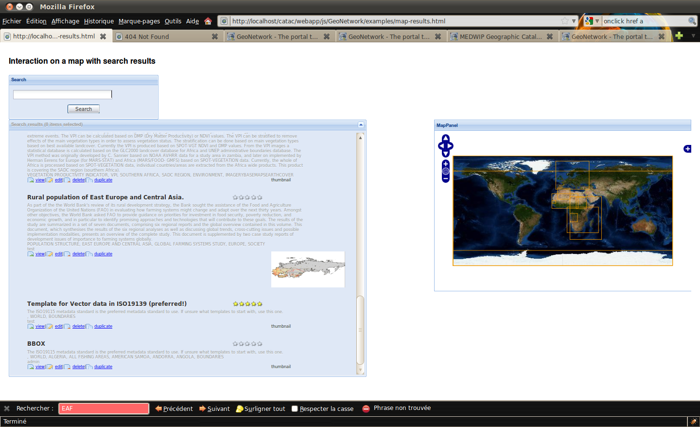
The map viewer is replaced with OL. We have automatically the following features:
- Zoom in/out/
- Zoom slider
- Panning.
- Zoom to full extent
- Markers (Francois showed some nice alternatives indeed)
- Layer manager (client)
-
OL has a built-in layer manager, but that's more integrated in OL than in the host environment, and may not be the better choice when embedding OL somewhere.
Francois showed us a layer manager implemented with MapFish, which offers some widgets aimed at map controls. This library uses Ext-JS so we may explore its use, also considering the fact that other proposals aim to the implementation in ext-js of the whole GN user interface.
We may keep the current implementations for adding layers (server selection + layer selection). - PDF builder (server)
-
MapFish offers an advanced PDF builder, implemented server side via a servlet. This one could easily replace the current Intermap implementation.
We have to consider that these server-side process will force us to use another application on the application server; that means we still have to have another application for map related processing beside Geonetwork. - WMC builder (server)
- In Intermap a WMC context document is built server side whenever needed. OL can create such a document client side, so we can send it to the server when needed.
- Mail context + thumbnail + URL w/ WMC
-
In IM we can now send email containing a thumbnail of the currently visualized map, and a URL that allow to reopen the GN/IM site with the very same map content. A WMC document is also sent as attachment, should the URL be too long and the browser unable to handle it.
We have to reimplement completely this feature; on the content side, we may send the PDF instead of the thumbnail, and the WMC document can be generated client-side by OL.
Please note that the URL you can use to open GN/IM at a certain context is a feature we have to consider when studying other proposals aimed at making REST-like URL possibile in GN.
Since OL may perform XHR toward remote servers we also need a proxy servlet to forward such requests, since browser security policies usually block them.
Backwards Compatibility Issues
None.
Risks
Participants
- List of participants and role (if necessary) in current GIP
Attachments (13)
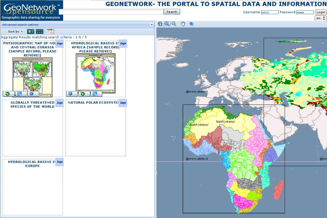
- GeoNetworkOpenLayerMapFish.png (311.9 KB ) - added by 16 years ago.
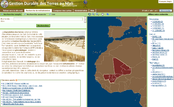
- gdtmali-home.png (181.9 KB ) - added by 15 years ago.
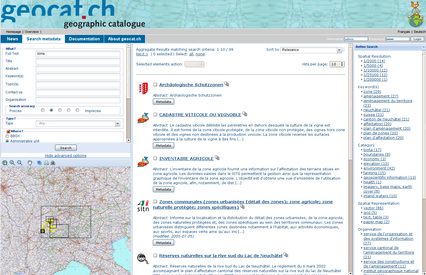
- geocat-home.png (773.2 KB ) - added by 15 years ago.
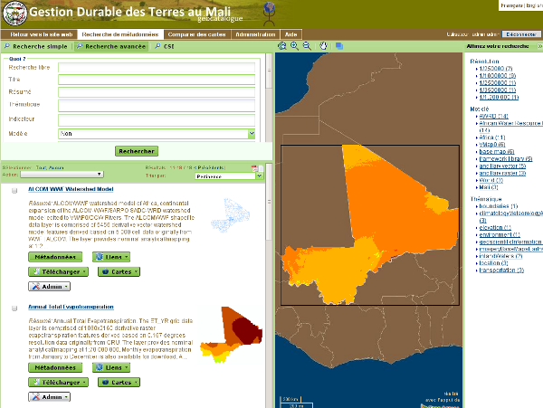
- gdtmali-search.png (140.2 KB ) - added by 15 years ago.
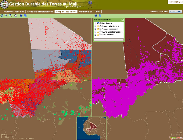
- gdtmali-compare-maps.png (246.9 KB ) - added by 15 years ago.
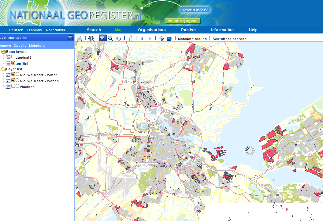
- ngr-map.png (248.8 KB ) - added by 15 years ago.
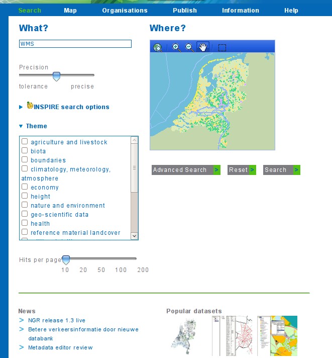
- ngr-search.png (80.8 KB ) - added by 15 years ago.
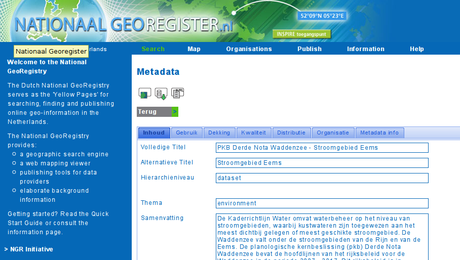
- ngr-view.png (170.4 KB ) - added by 15 years ago.
- geocat-popup.png (549.1 KB ) - added by 15 years ago.
- search-results-header.png (16.3 KB ) - added by 15 years ago.
- search-results-mediumout.png (21.6 KB ) - added by 15 years ago.
- search-results-thumbnailout.png (76.0 KB ) - added by 15 years ago.
- gnclient.png (369.0 KB ) - added by 14 years ago.