Opened 13 years ago
Closed 13 years ago
#462 closed defect (fixed)
Load wms in map viewer for service metadata
| Reported by: | josegar74 | Owned by: | josegar74 |
|---|---|---|---|
| Priority: | major | Milestone: | v2.6.4 |
| Component: | Web Map Viewer | Version: | v2.6.3 |
| Keywords: | Cc: |
Description
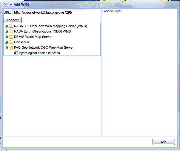
When click Interactive Map button for service metadata (online resource protocol OGC:WMS-XXX-http-get-capabilities), open the Add WMS layers dialog of map viewer showing the list of available layers in the service to load.
The dialog must show in URL field the wms service url and fill in treeview the service layers. See attached screenshot.
Attachments (1)
Change History (3)
by , 13 years ago
| Attachment: | add-wms-service.png added |
|---|
comment:1 by , 13 years ago
| Owner: | changed from to |
|---|---|
| Status: | new → assigned |
comment:2 by , 13 years ago
| Resolution: | → fixed |
|---|---|
| Status: | assigned → closed |
Note:
See TracTickets
for help on using tickets.